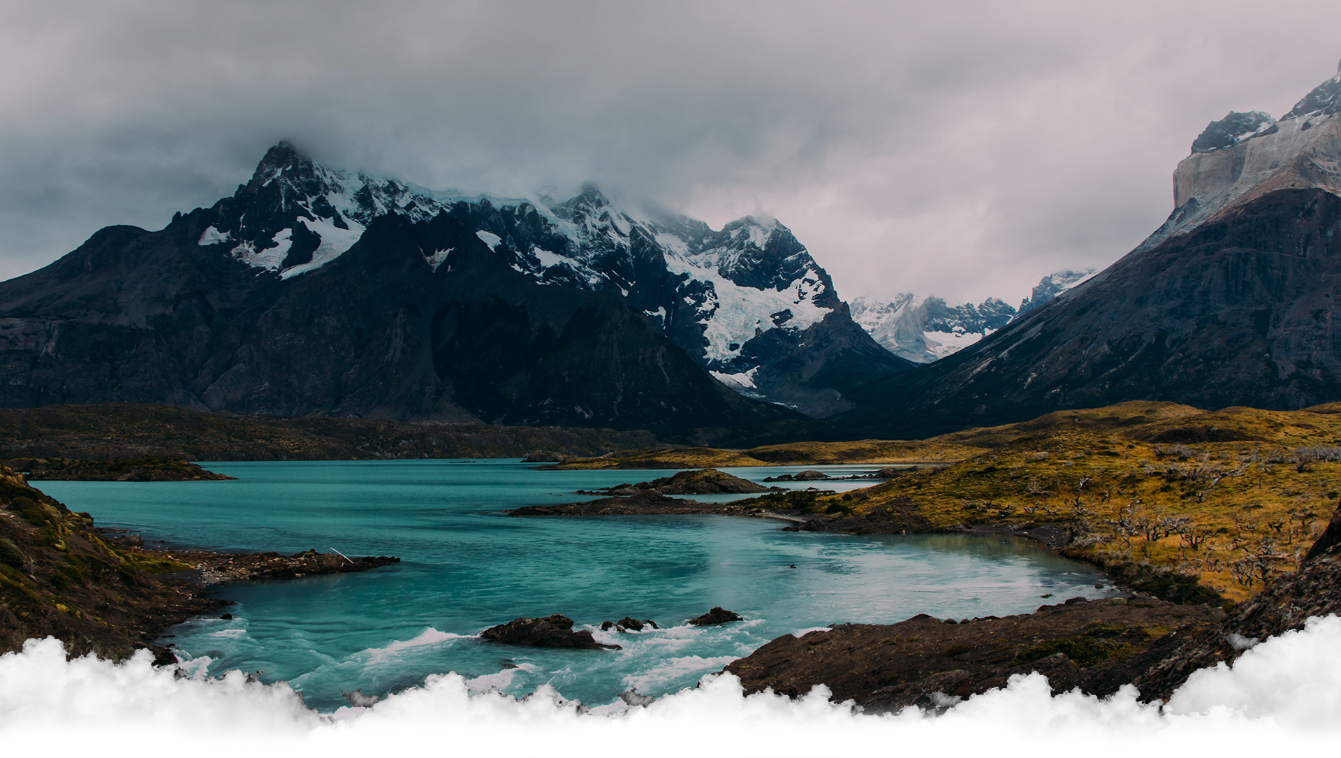
THE HUBS
- 18, February
- Admin
Visitors from neighbouring countries in South Asia are generally interested in culture, scenic views and more sedate, road- and hotel-based travel. Also other types of foreign visitors, such as elderly people, maybe less interested in strenuous trekking with very basic accommodation in lodges or tents. Staying in a hub can be a good alternative.
Tourism authorities and operators have been slow to reorient from classic touring and trekking to the opportunities available within or close to urban areas. Below we present some of these centres or hubs, from which you can easily explore cultural sites as well as wonderful scenery.
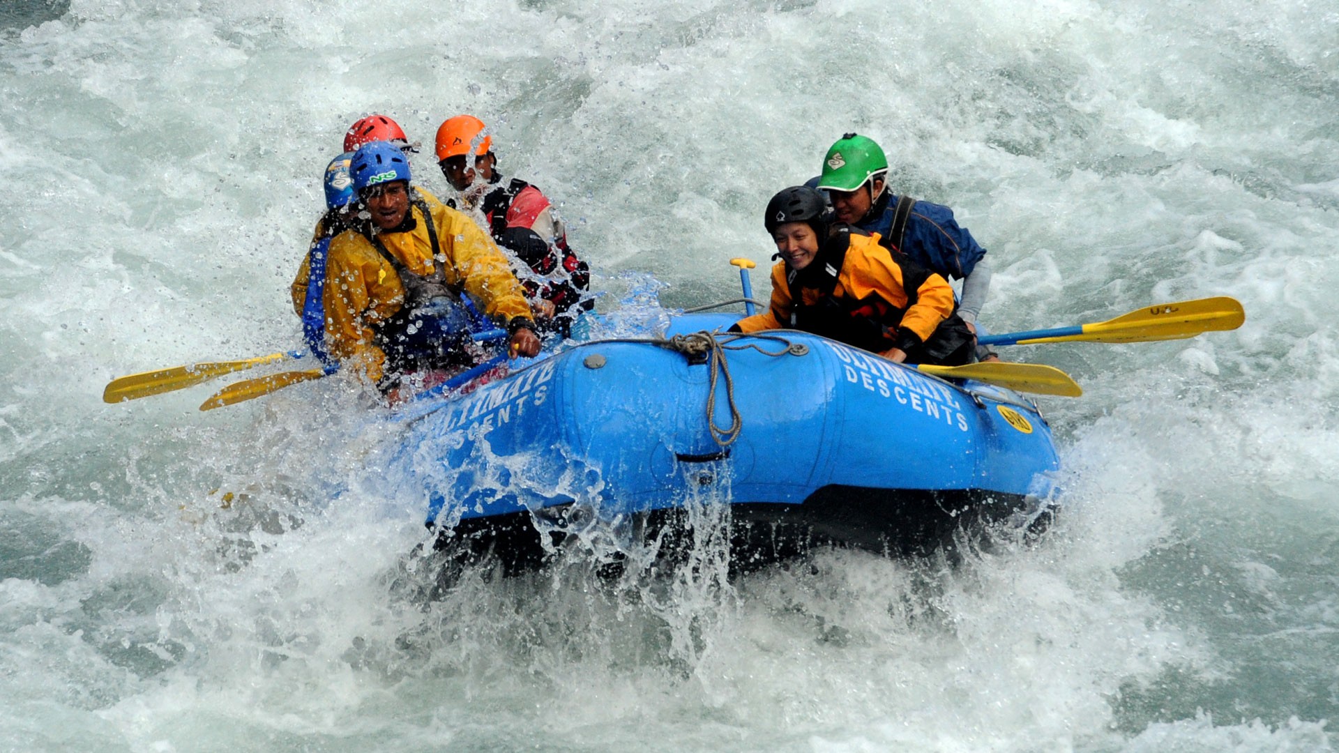
Bharatpur (183 m): The twin cities ofBharatpur and Naryanghat are busy transport hubs on the East-West Highway between Kathmandu and the Terai/India. Bharatpur is a good base for trekking in the Mahabharat Mountains and hills, for rafting and canoeing on the lower Trishuli, Marsyangdi and Kali Gandaki Rivers. It is generally more attractive and has better accommodation than Narayanghat. Proximity to the Chitwan National Park enables day trips to the park and its buffer zones. Weekends and extended stays are recommended for exploring the area. There are flights and frequent bus connections to Kathmandu.
Simikot (2,900 m): Hub for Humla District in the northwestern corner of Nepal – with a colourful weekly market. From Simikot you can walk the Kailash Trail towards Tibet or take day hikes or follow trails to cultural sites and scenic mountains.
The easiest and fastest way to Simikot is by plane from Nepalgunj. On foot, it is a walk of three days from the nearest road head at Muchu, or at least six days from Kolti, Bajura.
Darchula (900 m): Located on the Mahakali River bordering India in far western Nepal, marking the western terminus, or the start, of the Great Himalayan Trail. From Darchula town, you can access the two Api Base Camps, walk to border passes to peek into Tibet, visit the new (as yet not developed) Api Nampa National Park and the southern slopes of Mt. Saipal. There is no airport in Darchula, so access is by road from Dhangadhi.
Dhanghadhi (110 m): Located in the Kailali District in the extreme southwestern part of Nepal. Dhanghadhi is a hub for most road travel to the hills and towns east of the Karnali River, and the far western national parks of Suklaphanta, Khaptad and Api Nampa. There are many trekking options and unusual places to visit.
Access to Dhanghadhi is either by plane from Kathmandu or by road. Further to the northwest, Mahendranagar (Bhimdatta) has a border crossing to India.
Gamgadhi (1,830 m): Located in the Mugu District, on the Great Himalayan Trail, a mere three hours’ walk to Rara Lake and National Park, this small town is rapidly turning into a minor hub. Since a jeep road was established to Jumla, Gamgadhi will merge with Jumla as a regional tourism hub. From Gamgadhi, day visits and short treks in the Rara area, looping treks and long-distance treks cover a multitude of interesting historical and cultural sites.
Access to Gamgadhi is by plane or bus from Nepalgunj.
Jumla (2,514 m): This historical town, located in the Jumla District in western Nepal, is known for its mountain and hill scenery, diverse high-elevation agriculture (one of the world’s highest rice-growing areas), and Khas (ancient Brahmin/ Chhetri) culture. There are several nearby cultural attractions and short trekking loops, access to short mountain treks with spectacular views of the Kanjiroba Himal, Patarasi Himal Base Camp and other high routes. Trekking routes fan out northward toward the Rara National Park and the Shey-Phoksundo National Park, eastward to Pokhara and in southerly directions.
There are flights from Nepalgunj with connections to Kathmandu. There is also road access via Kalikot and Surkhet to Nepalgunj.
Nepalgunj (490 m): A fair-sized city right on the border to India, Nepalgunj is the commercial and transport hub of Nepal’s Western Terai, and the gateway to the Bardiya National Park, the Ghodagodi wetlands, the Bheri Valley and Surkhet areas, serving as a good transit stop on the East-West Highway. The city has Nepal’s largest concentration of Muslims and, if you walk away from the main streets, offers varied architecture.
The airport has good connections to Kathmandu and serves as a gateway to the mountain airstrips of western Nepal.
Jomsom (2,743 m): The district capital of Mustang is located north of the main Himalayan range, perfectly situated for a relaxing stay, short walks, day excursions and longer loops and treks. It is on the Great Himalayan Trail and the historical pilgrimage trail to Muktinath. Located in the Kali Gandaki Valley, the world’s deepest gorge, Jomsom is a fascinating place and worth a visit. Within a day’s walk from Jomsom, the villages of Jharkot and Khagbeni to the north, Thini due east across the river, and Marpha and Tukche to the south have more intact Thakali traditions. Accommodation is plentiful, and Thakali food and hospitality are famous.
There are regular flights from and to Pokhara. A rough road enables country buses and jeeps to drive to Jomsom from Pokhara via Beni.
Manang (3,529 m): As the crow flies, the capital of Manang District is not far from Jomsom or Pokhara, but is less accessible and more remote than other hubs. Manang is on the Great Himalayan Trail, located well above 3,000 m, nested in an open valley with fantastic mountain scenery, making it a ‘must’ stop on the Annapurna Circuit route. Manang offers superb opportunities for day walks to glaciers, glacier lakes and small villages, as well as for visiting monasteries and observing religious ceremonies. There are a few trekking peaks on the valley rim. West in the valley, the forested areas shift to a high-altitude desert landscape. Accommodation and services are good.
Flights into Manang are erratic. A new trail that is routed away from the new road offers a good way to access Manang.
Recent Blogs
-
 Moment in Nature
- 18, February
- Backpackers
-
 Why visit Nepal?
- 18, February
- Backpackers
-
 Climate
- 18, February
- Backpackers
-
 Trekking fees
- 18, February
- Backpackers